
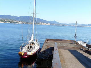
Miya-jima Visitor Berth at Itsuku-shima Island
34 18.190N 132 19.370E
| Miya-jima Visitor Berth 2016 | 【Berth】 |
 |
 |
| 2007 | Itsuku-shima Island |
 |
 |
| 2007 | 2013 |
 |
 |
Miya-jima Visitor Berth at Itsuku-shima Island
google map Miya-jima Visitor Berth→Hiroshima Kanon Marina
google map The ferry pontoon→Miya-jima Visitor Berth
The island, which is “shima” or “jima” in Japanese, has two names: Miya-jima
and Itsuku-shima.
The Miya-jima Visitor Berth was newly opened in 2014 as a pontoon managed
by Hiroshima Prefecture, which opens Japanese web site of the berth:
https://www.pref.hiroshima.lg.jp/soshiki/211/miyajimabiijita-.html
See pictures of the berth on above page.
About five boats can be moored at the pontoon which has power and water
posts.
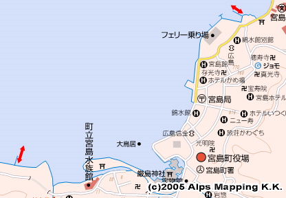
It is located in the 15 minutes walking west of Itsuku-shima Shrine.
Its mooring free is JPY3,180 a day for a 40ft boat.
For your reservation, call at 0829-44-0430 of Miya-jima Forrest Inn, or
visit Setouchi Cruising Portal Site:http://www.setouchi-cruise.jp/info.php
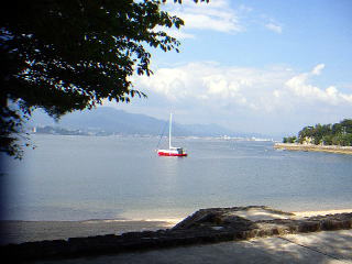
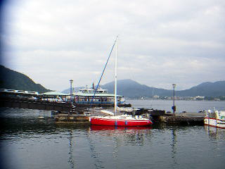
I visited Itsuku-shima in 2007 and 2013. On 2013 Google Map, I moved from the ferry pontoon in the east of the shrine to current Miya-jima Visitor Berth in the west of the shrine.
As Itusku-shima Shrine is a World Heritage sightseeing spot, there are many restaurants, food shops, public bath houses and toilets. No big supermarket or no coin laundry.
Additional Information for English Version
For Miya-jima or Itsuku-shima, there are two official English sites:
http://www.miyajima.or.jp/english/index.html
http://visit-miyajima-japan.com/en/